What is land really worth? A tool is rethinking valuation.
02.06.2026
Key Takeaways:
- Holistic land assessment: A new tool systematically integrates ecological, economic, and social criteria.
- Better understanding of impacts: Comparing current and planned land uses reveals the long-term effects of land-use changes.
- Greater guidance for decision-making: Supports informed decisions in land-use planning, administration, and investment.
Land is one of our most valuable resources, yet it is often assessed in a one-dimensional manner. Location, land use, or yield potential traditionally determine its value. However, in light of land consumption, climate change, and new regulatory requirements, ecological and social functions are increasingly coming into focus.
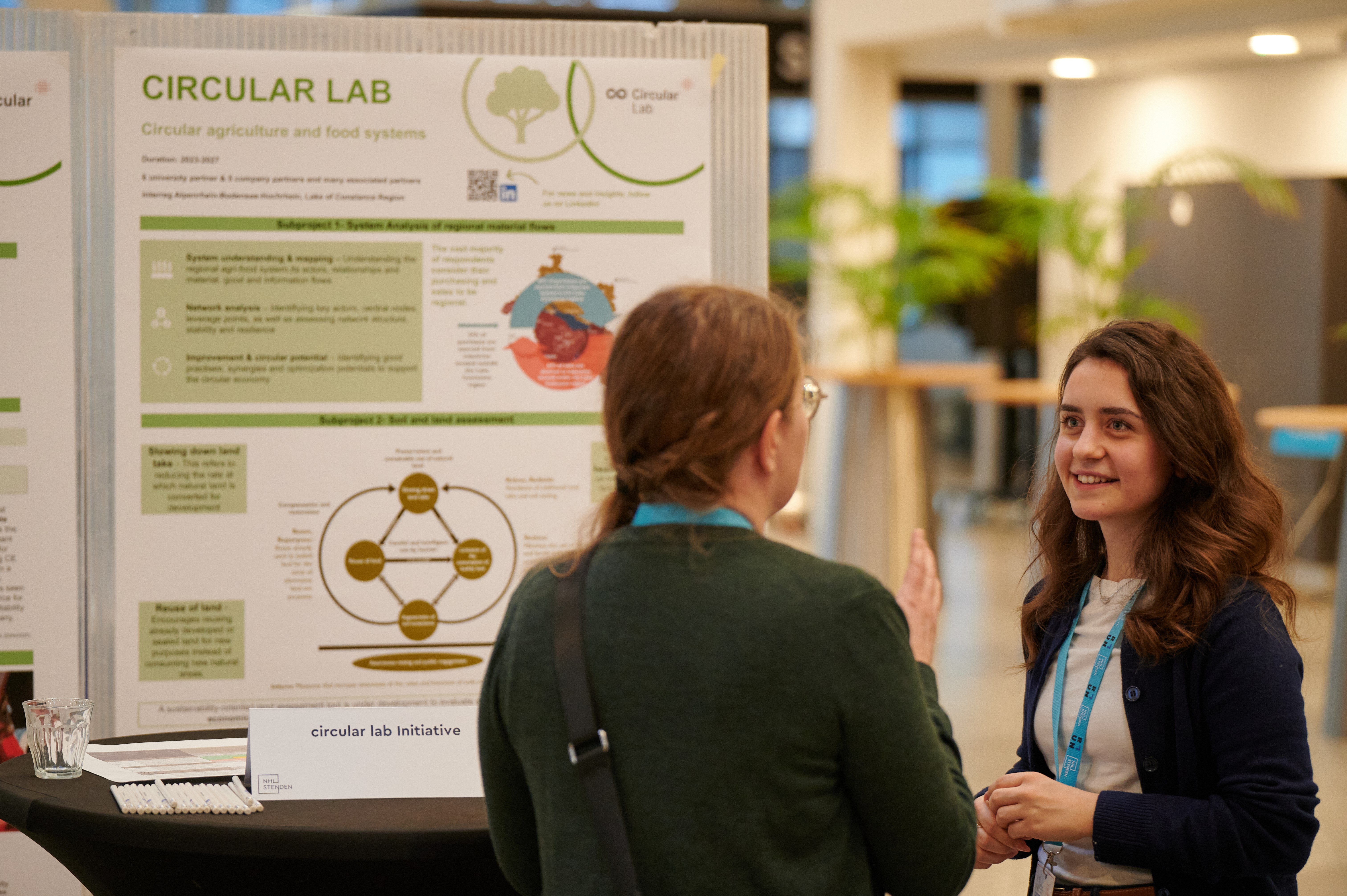
This is precisely where a research project at the FHV comes in: As part of the Interreg-ABH project “Circular Lab,” the Business Informatics Research Centre, together with partners such as the spatial planning engineering firm heimaten and OST—University of Applied Sciences of Eastern Switzerland—is developing a land assessment tool that systematically integrates these dimensions. The goal is to create a more sound basis for decision-making regarding sustainable land and spatial planning.
Soil as a key resource
“In practice, soil is almost exclusively evaluated in economic terms, even though it is far more than just a location factor,” explains Irem Aksoy, a researcher at the Business Informatics Research Centre at FHV. In fact, soil fulfills key functions—such as serving as a habitat, a CO₂ sink, a water reservoir, or the foundation for food production.
At the same time, pressure is mounting on various stakeholders: the EU taxonomy, ESG requirements, and Austria’s soil strategy are increasingly calling for transparent sustainability assessments. Nevertheless, ecological and social services are often overlooked in traditional models.
Research confirms this gap: “Ecosystem services such as water regulation, climate impact, or biodiversity are frequently underestimated, even though they are crucial for the long-term use of soil,” emphasizes Laura Koller, a researcher at OST – University of Applied Sciences of Eastern Switzerland, and her colleague, researcher Oliver Christ, adds: “Added to this are developments such as erosion, compaction, or humus loss, the effects of which often only become apparent over the long term.”
A shift in perspective: thinking of soil within a cycle
This is precisely where the assessment tool comes in: It no longer views soil primarily as an economic good, but as a finite resource within a cyclical system.
Ecological, economic, and social factors are systematically linked. Factors such as soil fertility and CO₂ sequestration are assessed, as are yield potential, usability, and recreational value. A key consideration is looking to the future: What are the short- and long-term impacts of interventions on the soil?
The principles of the circular economy (R-strategies) provide guidance. The focus is on how land consumption can be slowed and existing land reused and regenerated before new, unsealed land is utilized.
Innovation in Assessment
The scientific added value lies in the integrative and dynamic approach. A total of 15 criteria are grouped into the areas of ecology, economy, and social aspects and weighted according to land category.
A key innovation is the comparison of the status quo with planned land use. This reveals how interventions affect soil quality and what long-term effects result. This is complemented by combining quantitative indicators with expert assessment and by taking different time horizons into account.
Developing such a tool is methodologically challenging. A key task is to identify, for each of the three dimensions, the criteria that capture the essentials. At the same time, the tool should not be overloaded with too many individual indicators.
Another challenge arises from the cross-border approach: In the Lake Constance region, Austria, Switzerland, Germany, and Liechtenstein each have different data sources, cartographic materials, and access regulations. Transforming this heterogeneous data into a comparable assessment framework is a central task and a key added value of cross-border cooperation.
“This enables a systematic translation of ecosystem services into the logic of real estate and land valuation,” says Irem Aksoy. At the same time, the tool bridges the gap between soil science, spatial planning, the real estate industry, and sustainability reporting.
Expanded decision-making bases for practical application
The practical benefits are evident in planning and decision-making processes: municipalities and spatial planners can make more informed assessments of whether areas should be developed, preserved, or restored to their natural state. Conflicting objectives become apparent earlier.
The topic is also gaining importance for investors. ESG requirements demand transparent metrics, so a holistic valuation tool can help assess risks more effectively.
“Currently, land is primarily evaluated based on economic criteria; ecological aspects are considered, at most, on a case-by-case basis,” reports practice partner Markus Berchtold, managing director of heimaten. At the same time, the potential is clearly recognized: “A transparent evaluation system can improve the quality of spatial planning and significantly streamline decision-making processes.” From
Model to transformation
Beyond its concrete application, the tool contributes to a fundamental shift in perspective. It highlights that land is a limited resource and that competing land-use demands must be reconciled.
Scientific models can map complex relationships, reveal interactions between the three dimensions, and simulate scenarios. This creates a basis for decision-making that takes both short-term and long-term impacts into account.
The project demonstrates that sustainable land use requires a systemic understanding as well as new tools to make this complexity tangible in practice.
Voices from the project
“In practice, land is evaluated almost exclusively in economic terms, even though it is far more than just a location factor.”Irem Aksoy, researcher at the Business Informatics Research Centre at FHV
“Many key functions of soil are overlooked in traditional assessment approaches. These include, for example, its importance for the water cycle, the climate, and biodiversity.”Laura Koller, researcher at OST – University of Applied Sciences of Eastern Switzerland
“In the future, land must be viewed as a finite resource within a cycle. Scientific models help to make long-term impacts visible.” Oliver Christ, researcher at OST – University of Applied Sciences of Eastern Switzerland
“A transparent and broadly supported assessment system can improve the quality of spatial planning and significantly streamline decision-making processes.” Markus Berchtold, Executive Director of heimaten
From June 2023 through the end of May 2027, the Circular Lab / IoT Sustainability Lab / Sustainable Mobility Lab be funded by the Interreg VI “Alpenrhein-Bodensee-Hochrhein” (ABH) program, with funding provided by the European Regional Development Fund (ERDF) and the Swiss Confederation.
Contact

Irem Aksoy, BSc
Research Student Employee
Research Centre Business Informatics
+43 5572 792 3733
irem.aksoy@fhv.at


